Land Cover/Landuse Mapping
AZM SURVEYING Services
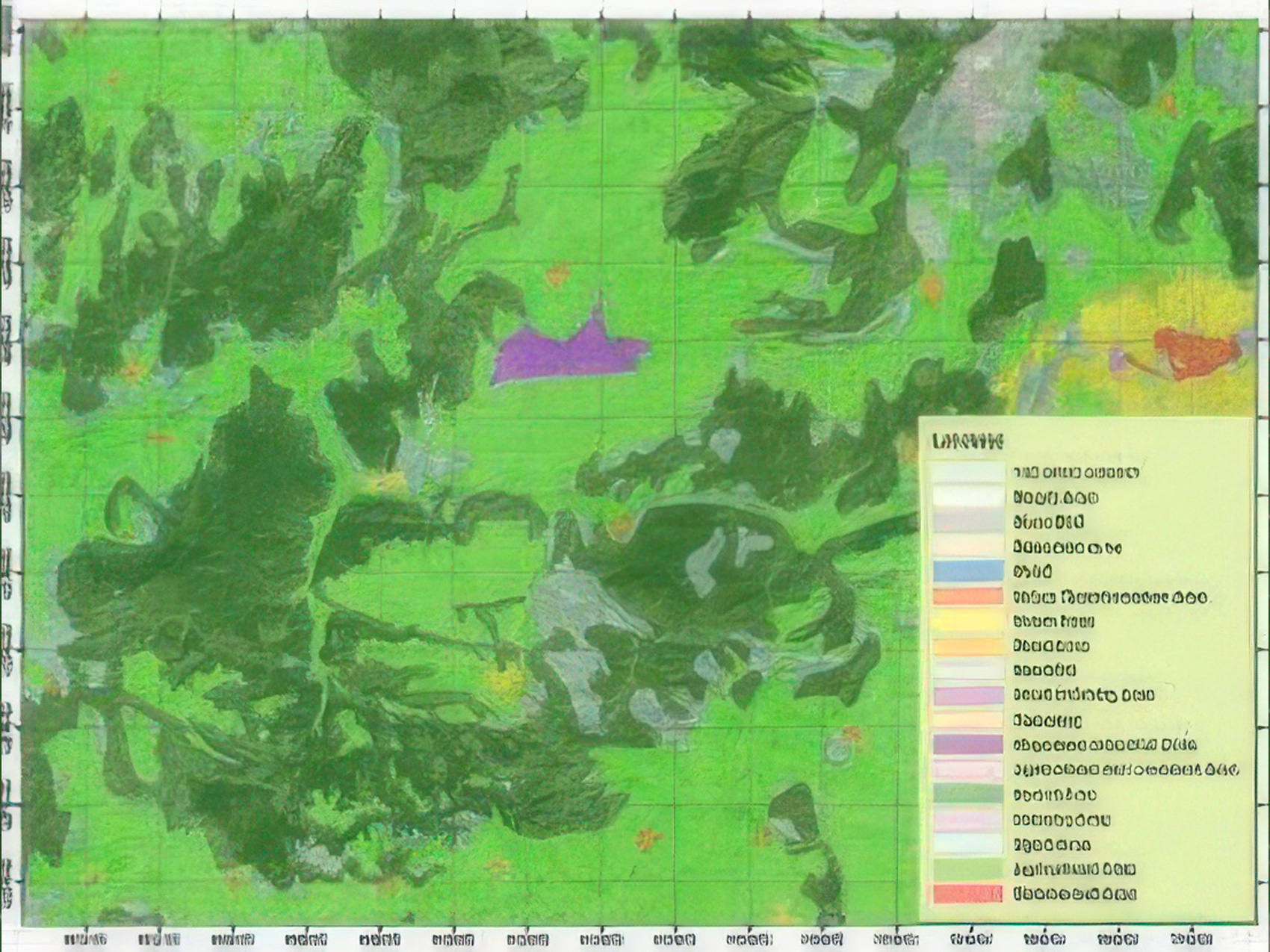
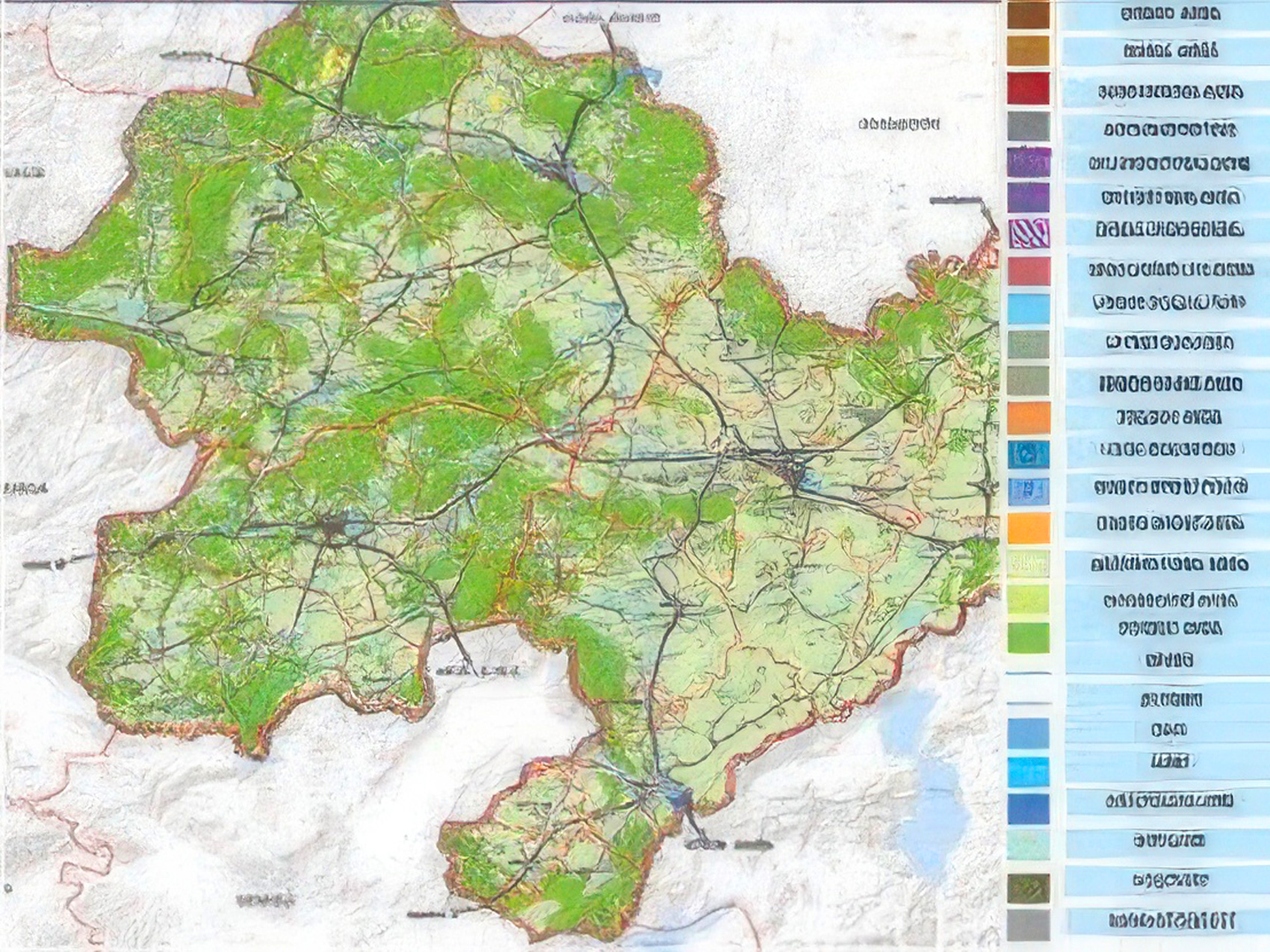
- Land use maps are created to represent the potential uses of a “unit” of land.
- During the establishment of landuse maps, land planning data, field studies, satellite images and orthophoto maps are utilized in order to determine the actual use of the field.
- • Integration of urban and regional planning to the system,
- • Production of transportation network map,
- • Determination of the urban and rural residential areas,
- • Determination of commercial and industrial facilities,
- • Determination of organized agricultural and livestock areas,
- • Detection of the water sources,
- • Tourism areas,
- • GIS-based digital mapping,
- • Thematic mapping,
- • Digital and hardcopy map production.