Related Services;
As presented in previous sections, AZM has broad experience and technical capability in all of the following fields of specialization:
Geodetic Control, Datum and Projections, Datum Transformation:
Geodetic control constitutes the foundation / reference for all type of geographic information. It provides the common reference for mapping and other geospatial data. Datum is the definition of geodetic control by defining the national ellipsoid, its position and orientation with respect to the center of the earth. Projections are the representation of features on the ellipsoid on planar surfaces. Datum transformation is the conversion of coordinates between different datums.
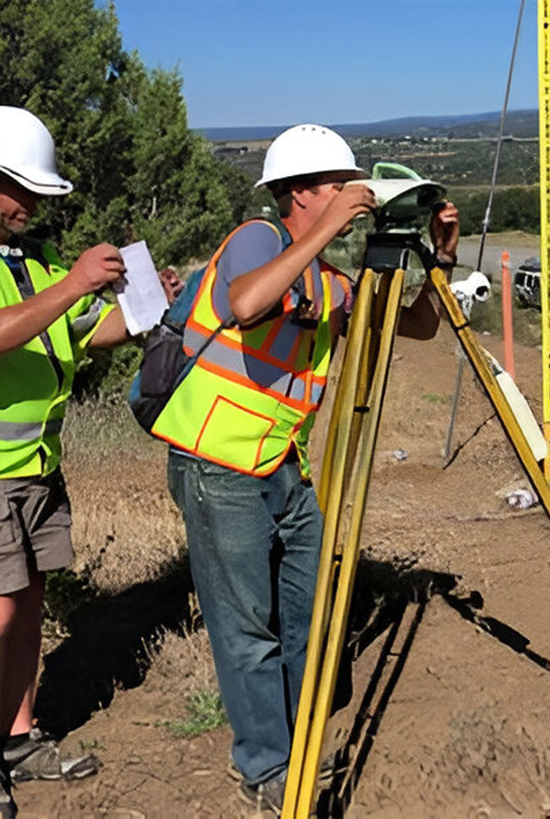
Terrestrial-GPS/GNSS Surveys and Mapping:
Terrestrial surveys mainly consist of GPS / GNSS surveys and total station surveys. The surveys supplemented by the associated features and attributes are input to terrestrial mapping.
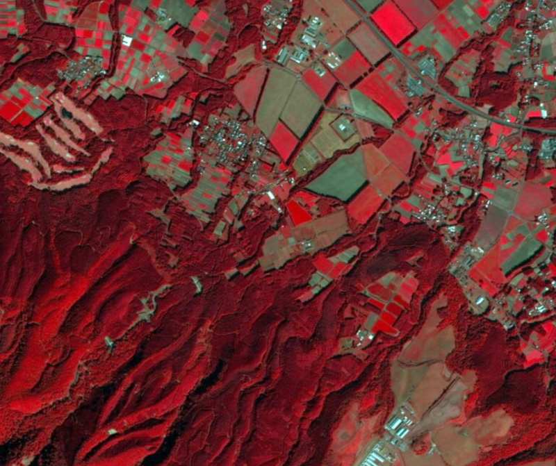
Digital Photogrammetic Maps and Orthophoto Production:
AZM completed many photogrammetric projects including stereo vector data compilation, digital map production, photogrammetric geodatabase creation, DEM (DTM & DSM) collection and editing, orthophoto production, mosaicking.
Data conversion and integration:
Geographic data usually come in different form (hardcopy, electronic, etc.), format, coordinate and standard. They need to be scanned, rectified and converted to the same system followed by integration.
AZM has CAD experts and operators who are experienced in their fields and have a significant number of data transformation and integration projects.
Geodatabase establishment / GIS establishment / Geoportal establishment:
A geodatabase is a database designed to store, query, and manipulate geographic information and spatial data. A GIS is the integration of geodata with the GIS software in the computer environment. A geoportal is a type of web portal used to find and access geographic information (geospatial information) and associated geographic services (display, editing, analysis, etc.) via the Internet.
IT applications:
Information Technology (IT) applications range from GIS to e- government and e-services.
• Geodetic engineering, surveying, mapping, cadastre, photogrammetry, satellite mapping, geodatabase and geoportal establishment.
• Applications of CAD, GIS, LPIS: Provides a strong Geographic Information Systems infrastructure for Municipalities, Special Provincial Administrations, Public Institutions, institutionalized companies and all other companies operating in the private sector.
• Web-based GIS and LPIS Applications.
• Design, development and deployment of integrated web-based enterprise level database(s) and graphical (GIS) applications (service oriented architecture preferred) dedicated for large property registration/management and cadastre organizations).
• Object-oriented business and system analysis and design.
• Software system implementation
• IT technical training organization, provision and evaluation.
• Communications over secure connection in multi-service TCP/IP network environment.
Land Consolidation:
The simplest definition of land consolidation is the cadastral reshaping of the land. In these studies, it is not possible to give a simple formula and get instant results. In consolidation efforts, optimization is essential and a detailed and careful work process is required for all projects.
Land Real Estate Valuation and Acquisition Procedures:
In order to facilitate the feasibility of the Land Acquisition Works and Transactions, the agricultural income values of the land should be determined and the basis for the activities to be carried out within this scope and the land acquisition will be facilitated; work is carried out to reach the size of the land that will provide sufficient income.