AZM SURVEYING
Executive Summary
Gain insight into the leading company with 27 years of experience in its sector.
About Our company
AZM, founded in 1998, carries out activities in different sectors. With its 27 years of experience and expert staff has many big projects have taken across Turkey continues to serve the public institutions and the private sector.
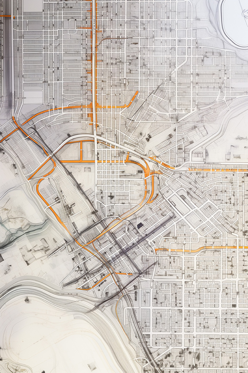
Geodesy, Terrestrial/Photogrammetric Digital Map Production in various scale, GPS / GNSS Engineering Measurements, Cadastre and its Applications, Image Processing, Remote Sensing, Programming and GIS installation are experts in all fields and are experienced in all disciplines.
AZM has gained experience in relation to all types of map, information system, web- based software and portals, and also it has become a much-needed firm in turn-key projects, installation of integrated system.
Our goals are to institutionalize globally, create high quality solutions beyond the expectation of our customers for rendering services to our customers. Our primary goal is to follow the technology, create updateable and improvable solutions and become a preferable firm.
It should also be noted that since 1998, it has a unique knowledge of measurement, GIS and mapping systems through projects.
It consists of experts in the creation of geodetic network, GPS measurements, digital mapping, data conversion, creation of digital elevation model, image processing, programming and GIS installation.
Especially digital photogrammetric mapping, orthophoto and interactive photomosaic, scanning and cadastral mapping, GPS / GNSS surveying, cadastral geodatabase and the establishment of digitization issues and top quality as experienced in all disciplines mentioned above.
Not only manufacture, but also creation of sustainable and improvable systems with consultancy and training services reflects our difference.
Sincerely,