Hydrological Mapping
AZM SURVEYING Services
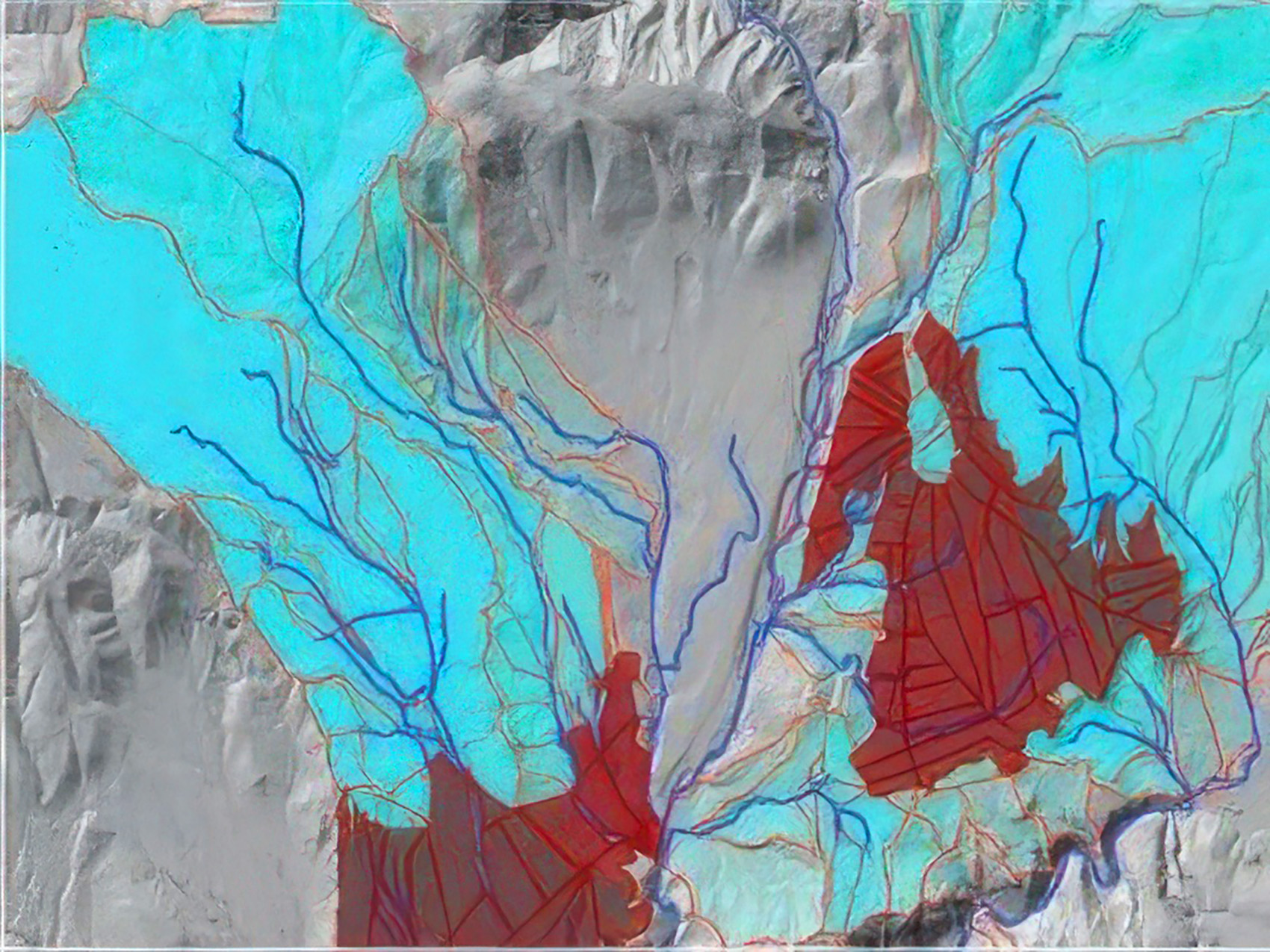
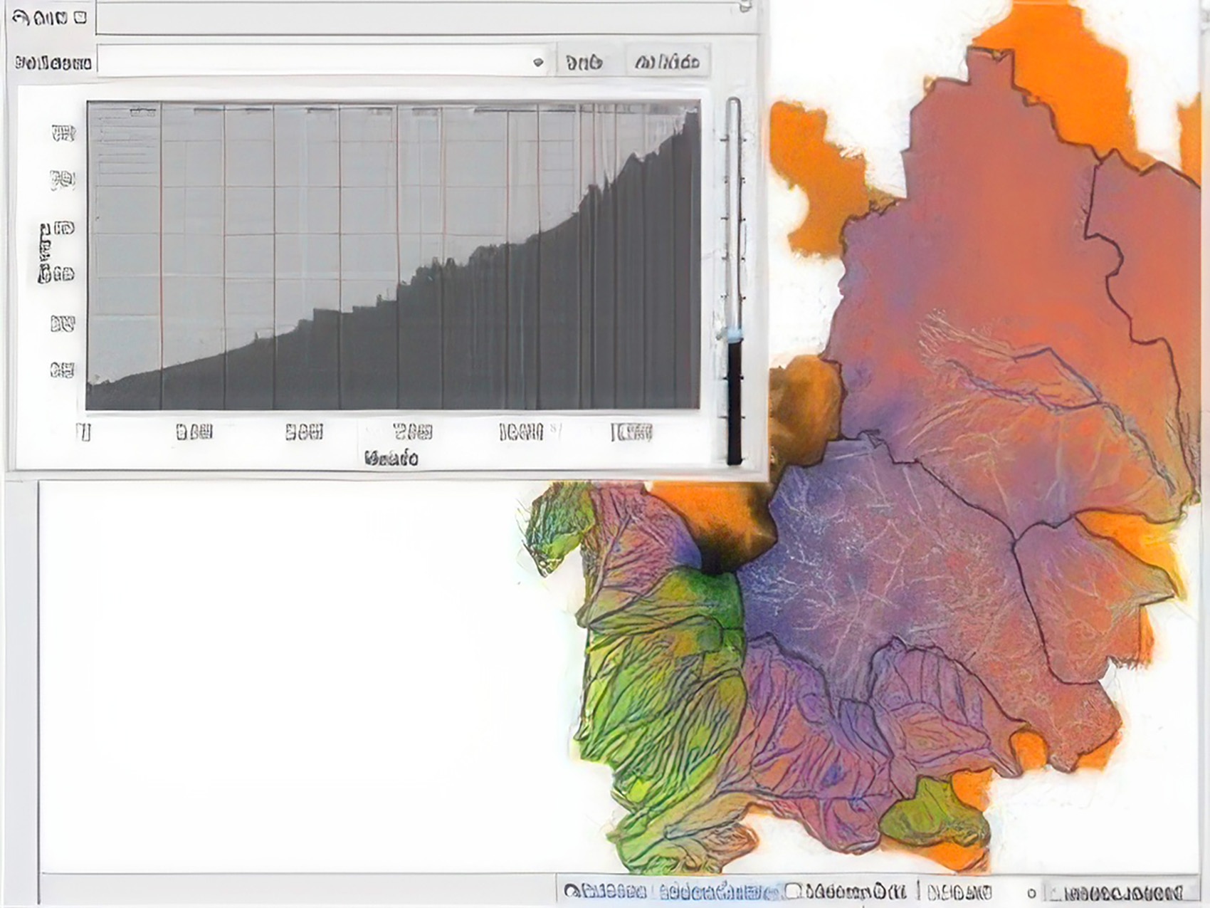
- Determination of surface flow and creation of integrated watershed model on large land groups by using digital elevation model, topographic maps, soil structure and vegetation maps.
- • Establishment of watershed model,
- • Determination of the points as to be basis for making hydraulic calculations,
- • Creation of Digital Terrain Models,
- • Determination and calculation of hydrological parameters,
- • Stream flow measurements with field studies,
- • Determination of surface flows,
- • Making permeability experiments.