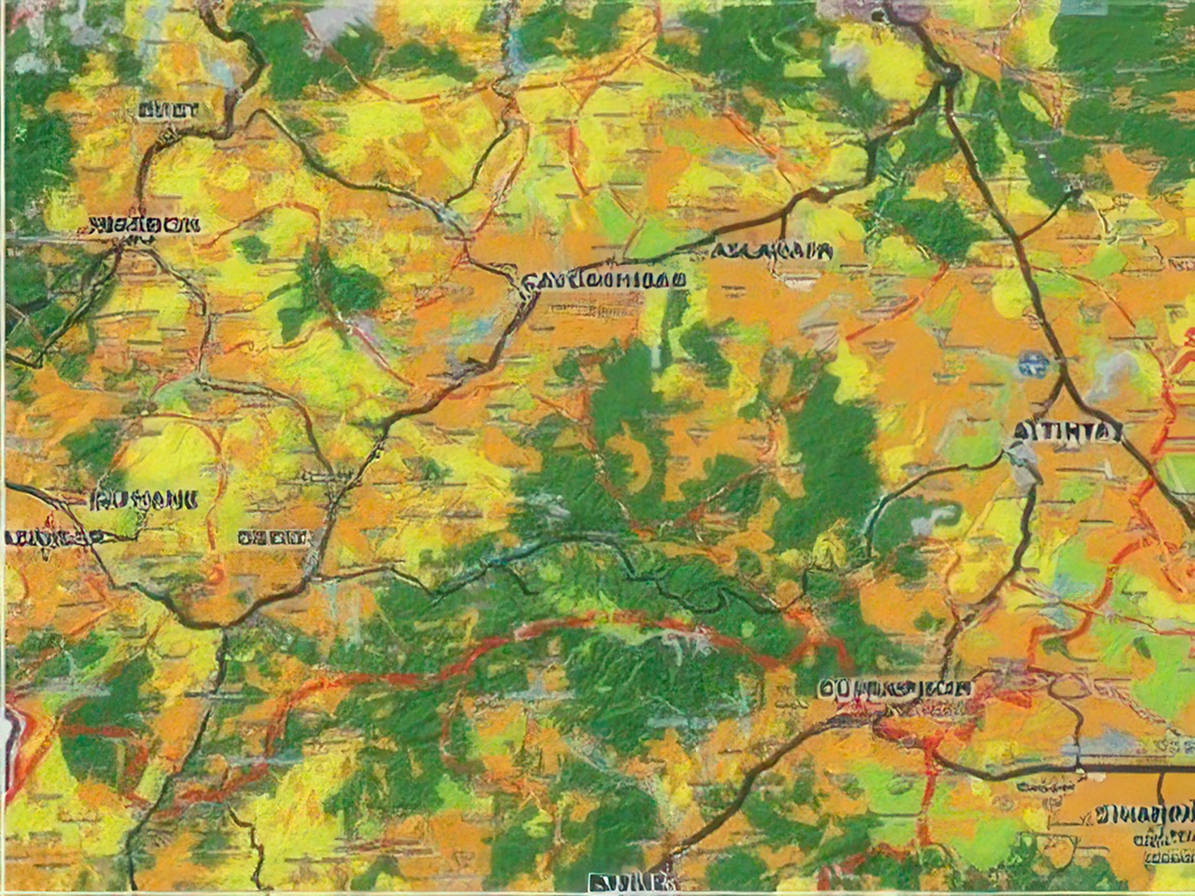
Soil Landuse Mapping
AZM SURVEYING Services
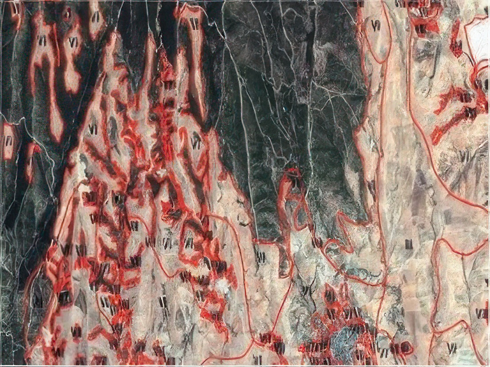
- Throughout Turkey, redefining of the classification of land use capability and major land groups and also updating of the boundries are carried out by our company.
- • Identification of soil attribute,
- • GPS field sampling and laboratory analysis to obtain soil class or property data,
- • Interpretation from basemaps and digital map production,
- • Field sampling and laboratory analysis for quality testing.